You are here: Fügen-Kaltenbach / Summer / Hiking / Alp traverse
Over the alps by foot

Alp traverse Tyrol

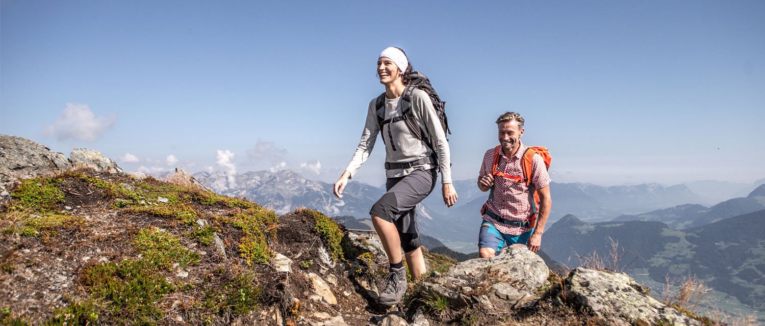
Trans-Alpine Crossing - The route from Tegernsee via Achensee and the Zillertal to Sterzing runs on easy to moderately difficult paths through spectacular and varied landscapes. Accommodation will be provided in the villages along the route. Inns, guesthouses or hotels of all categories allow for a restful sleep so that you can fully enjoy the next day. One week of hiking, from traditional Bavarian culture to Tirolean hospitality and South Tirolean wine awaits. Traversing the Alps – a memorable experience that lasts a lifetime.

Alpine traverse through the Zillertal - The stages in Fügen-Kaltenbach

Stage 3 - Achensee - Fügen
The third stage takes the hiker by bus/Zillertalbahn from Maurach am Achensee to Fügen. 
Distance 14 km | Altitude upwards: 120 m | Elevation meter downwards 100 m | Walking time 4.0 h

Stage 4 - Fügen - Hochfügen
From Fügen we take the new Spieljochbahn up the mountain. Once at the top, you hike along a wonderful path to the Loassattel and on to Hochfügen, the next stage stop.
Distance 14 km | Altitude upwards: 350 m | Elevation meter downwards 740 m | Walking time 4.5 hours

Stage 5 - Hochfügen - Mayrhofen
The fifth stage starts in Hochfügen and leads over the Sidanjoch and the nearby Rastkogelhütte to the Melchboden on the Zillertaler Höhenstraße. Before you take the bus back into the valley to the next stop in Mayrhofen, you have to enjoy the panorama!
Distance 11 km | Altitude upwards: 840 m | Elevation meter downwards 300 m | Walking time 4.5 hours

- - - Hier geht´s zur ROUTE - - - 

NEW Stage Fügen - Sterzing
You start the tour in a picturesque picture-book landscape from the entrance to the Zillertal - from Fügen with the Spieljochbahn via Hochfügen, Mayrhofen and the Pfitscher Joch to Vipiteno. The route runs on easy to moderately difficult paths through beautiful, changing landscapes.

Stage 1 - Fügen - Hochfügen
The first stage starts with the Spieljochbahn up the mountain. Once at the top, you hike along a wonderful path to the Loassattel and on to Hochfügen, the next stage stop.
Distance 14 km | Altitude upwards: 350 m | Elevation meter downwards 740 m | Walking time 4.5 hours

Stage 2 - Hochfügen - Mayrhofen
The second stage starts in Hochfügen and leads over the Sidanjoch and the nearby Rastkogelhütte to the Melchboden on the Zillertaler Höhenstraße. Before you take the bus back into the valley to the next stop in Mayrhofen, you have to enjoy the panorama!
Distance 11 km | Altitude upwards: 840 m | Elevation meter downwards 300 m | Walking time 4.5 hours

- - - Hier geht´s zur ROUTE - - - 

Trans-Alpine crossing

All important informations

Start without stress
Bus Hochfügen
You can easily drive up to Hochfügen with the bus. The bus drives daily from the village Fügen up to Hochfügen. You can find the timetable in the link below.
7 stages
The route at a glance
the Track
Hike across the Alps on foot.

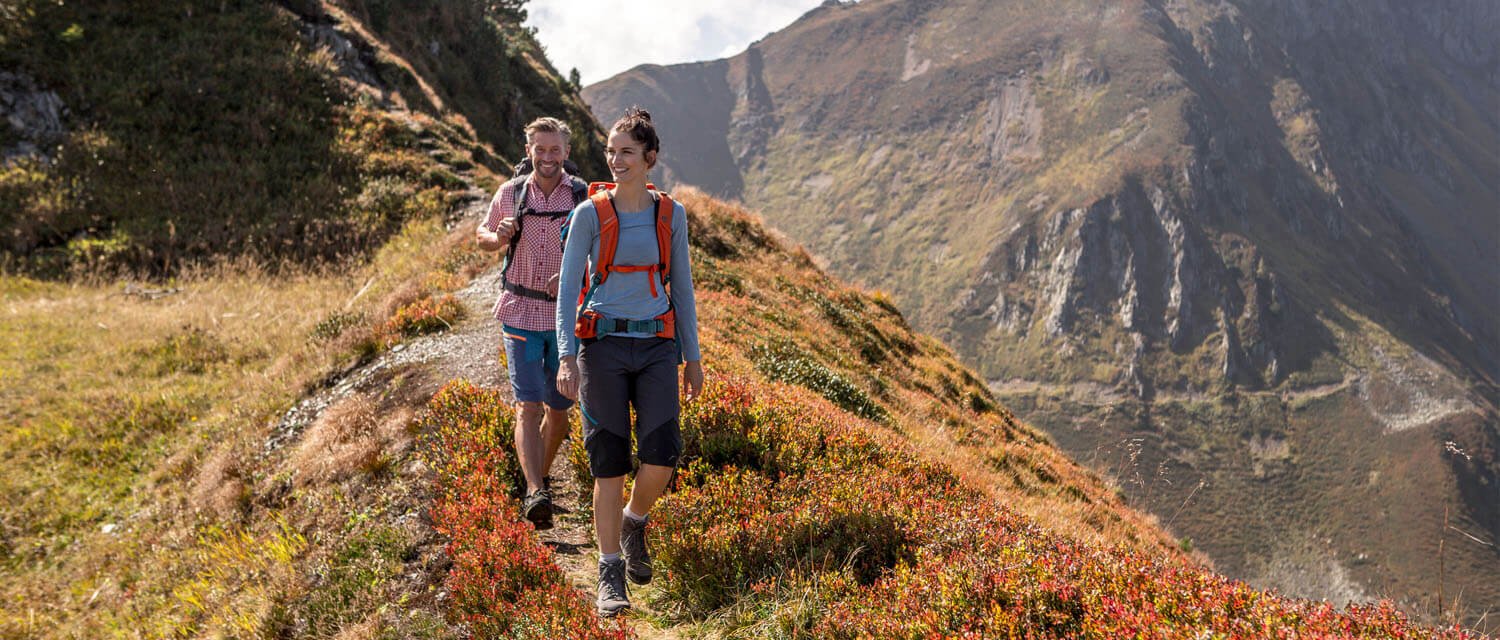
2 Wanderer am Spieljoch im Herbst
Wanderer im Zillertal
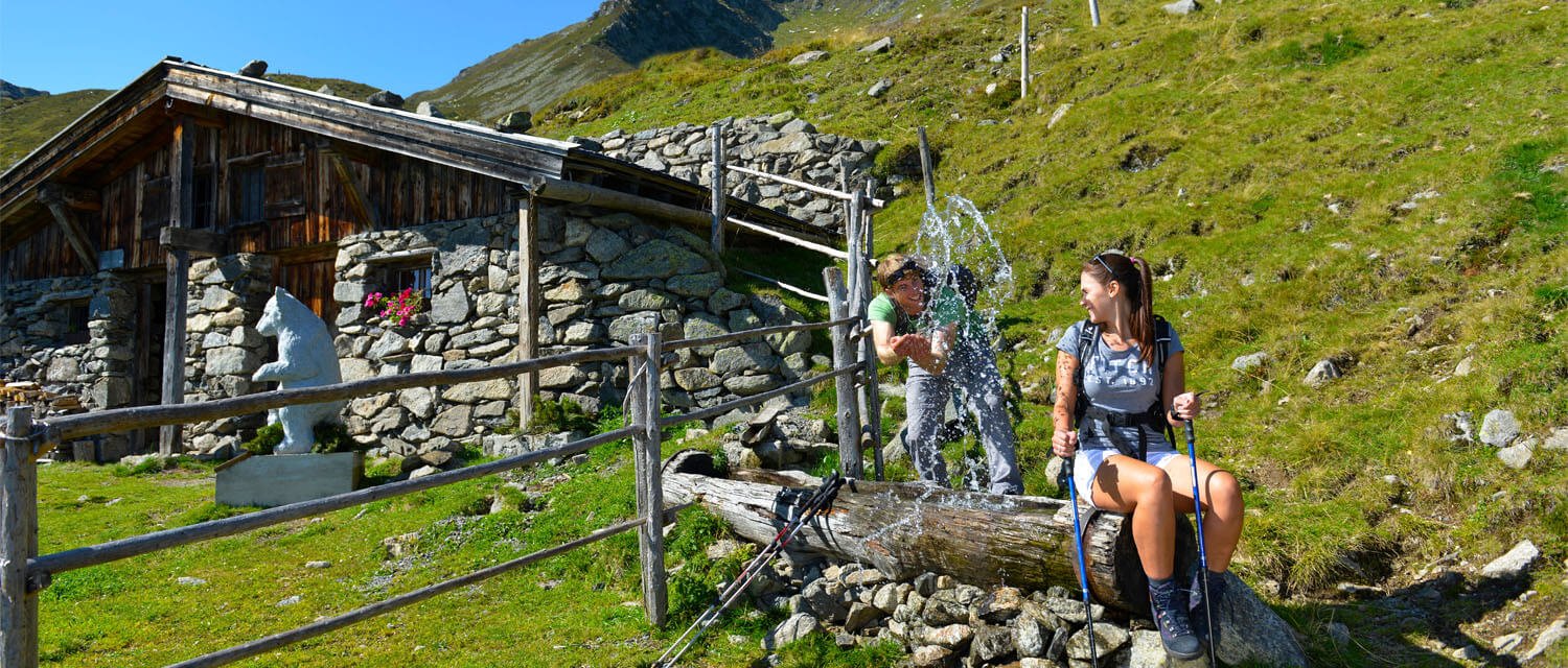
Wanderer Spaß Brunnen Gartalm
DE | EN
search