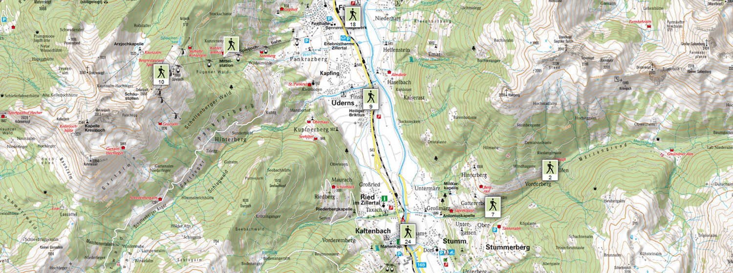
Interactive hiking map Zillertal
Explore the holiday region Fügen-Kaltenbach in summer by walking in the forest, by bike or mountain bike, hiking, swimming or golfing. No matter how or where you want to go - with the interactive hiking map of the Zillertal you can plan your sporting activities, view route descriptions and elevation profiles and choose the right tour for you and your friends or family. Once you have selected a tour, you can also download and print it or download the GPX file directly to your GPS device.
In our interactive hiking map you will find all the important information about your holiday in the Zillertal: Where are the rustic huts and inns for a cosy break? Where is our accommodation? How far away are the nearest attractions and sports facilities? You can find all this and much more in our interactive map!


